")

")
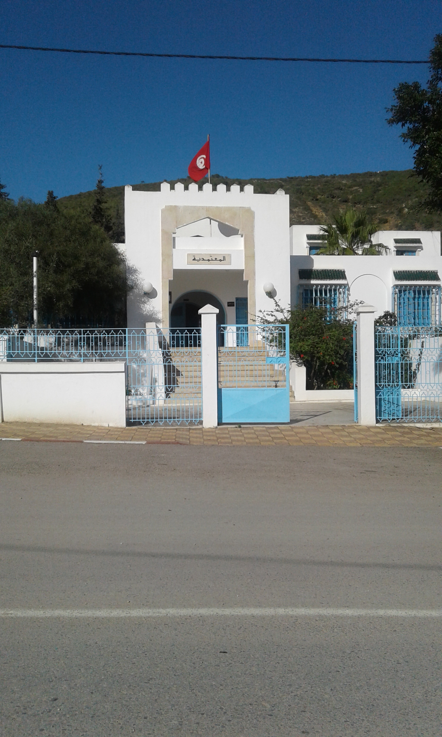
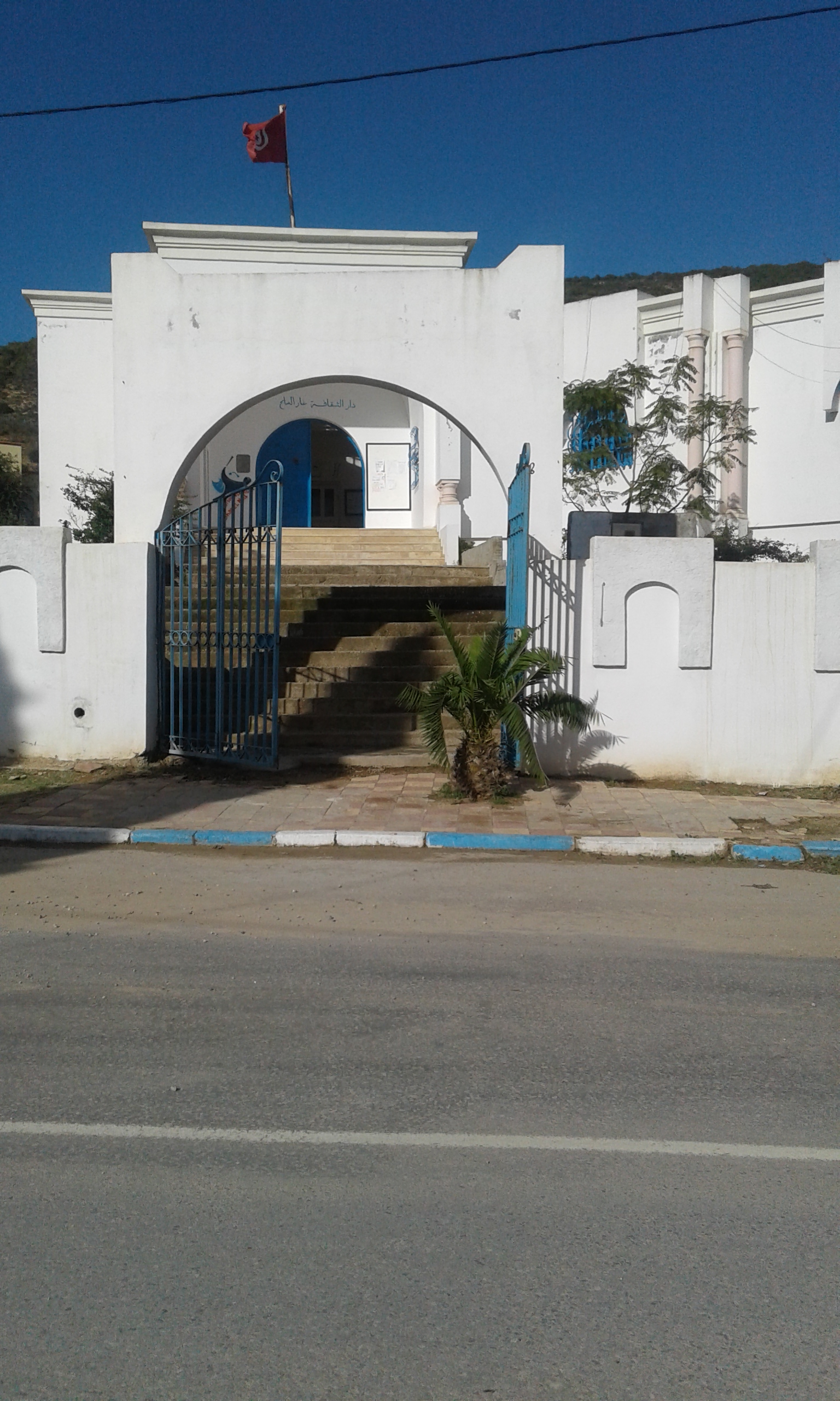
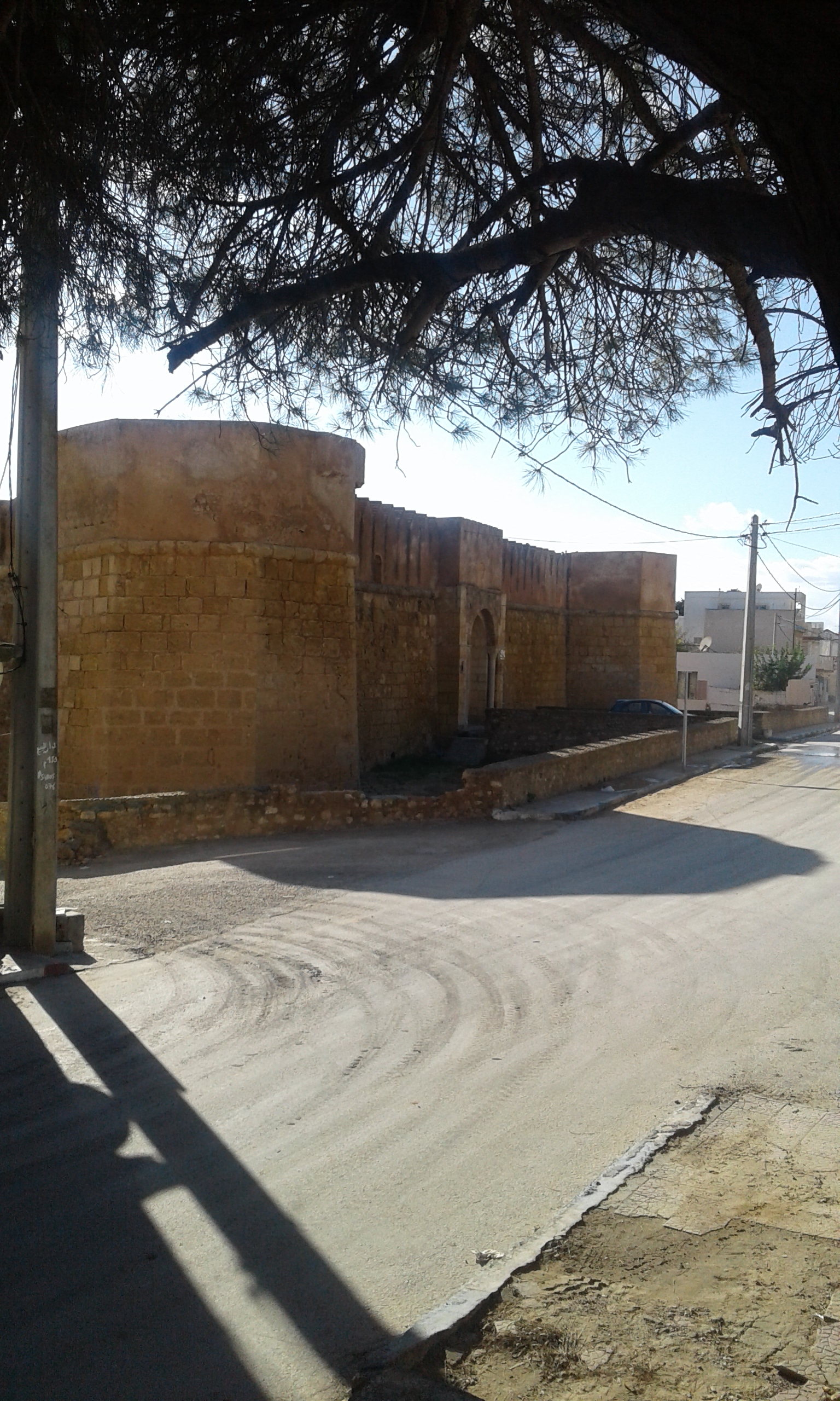
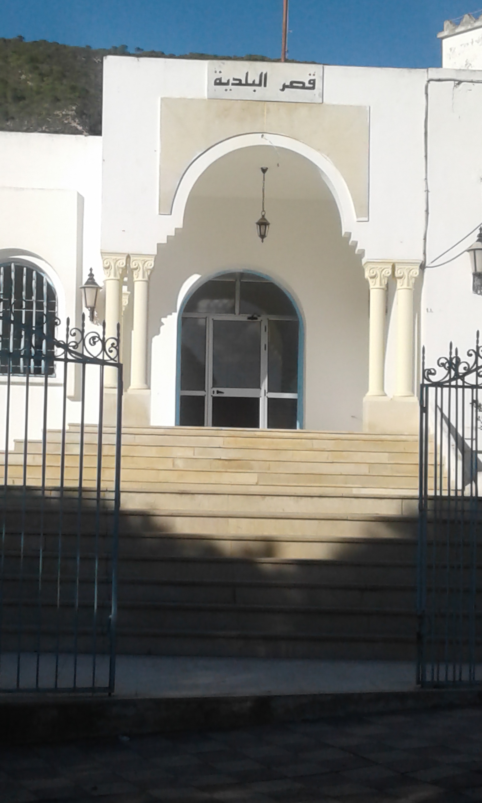
The municipality of Ghar El Melh was established by virtue of Decree No. 140-1967 of 3 May 1967, and it is one of the oldest municipalities in the governorate of Bizerte. It covers an area of 110 hectares and has a population of 9,242 people. It is bordered by Jabal Nadhour from the North, Lake Ghar El Melh from the South and the sea to the East. The city includes 6 neighborhoods (Al Basateen, Al Rahba, Al Hana, Al Safa, Al Jamii Al Kabir and Marina) and the Municipal Council consists of 12 members. The municipality has many communal facilities (cultural, educational, youth and service).
|
Le Logo de la Commune : |
|
Address: Habib Bourguiba Avenue
Phone: 72 448 712
Fax: 72 448 656

The new division of municipal boundaries
Within the framework of the state policy aimed at activating the seventh chapter of the constitution related to local authority, especially the requirements of Chapter 131, which mandates the mandatory circulation of the municipal system throughout the territory of the republic, and since the Ministerial Council held on 09 February 2016 approved a national methodology for circulating the municipal system according to a set of geographical, demographic, economic and social indicators and standards require reviewing the municipal boundaries, taking into account the situations that require the creation of new municipalities, and according to the process of modifying the boundaries of the municipality of Ghar El Melh and the territorial sectors (imadas) that will be included and which will be fully incorporated later on. The following are the demographic indicators to this modification:
|
|
Imada Ghar El Melh |
Imada Bejou |
Total after Modification |
||
|
Municipal Area |
Outside the Boundaries of the Municipal Area |
Summary of the Imada of Ghar El Melh |
|||
|
Total Population |
5386 |
254 |
5640 |
3602 |
9242 |
|
Number of Families |
1362 |
71 |
1433 |
898 |
2331 |
|
Number of Dwellings |
1809 |
174 |
1983 |
1013 |
2996 |